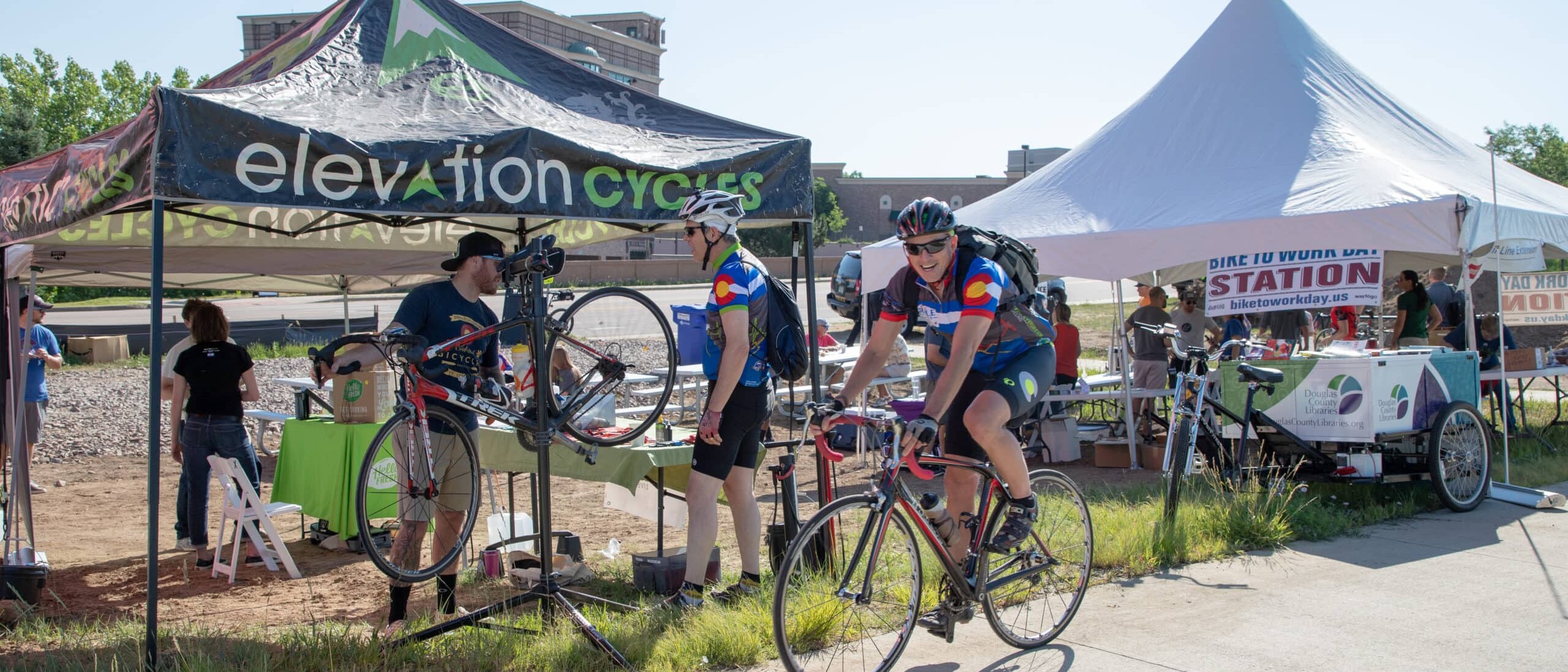
Walk / Bike
Active transportation (cycling or walking) is a popular alternative to driving alone in Denver South. That’s good news. According to a 2017 State of Utah report, individuals who trade their car trips for walking or cycling can save between $2,235 and $2,730 in annual healthcare costs. New data also shows it doesn’t take large reductions in driving to see major improvements in traffic flow and air quality.
Denver South is fortunate to be bordered
by three major (and beautiful!) cycling paths:
- Cherry Creek Trail (to the north and east)
- The E-470 Bikeway (to the south)
- High Line Canal Trail (to the west)
These trails connect to on-street facilities or roads with limited vehicular traffic to help cyclists complete their commute to and from work or for recreational usage.
Much of Denver South has wide and comfortable sidewalks with attractive natural landscaping. Instead of driving to lunch, consider choosing a restaurant closer to your work location and walk.
Trip planning Resources
This interactive map provides useful bicycle network information including bicycle facilities, local paths, RTD Park & Ride locations and bicycle share stations.
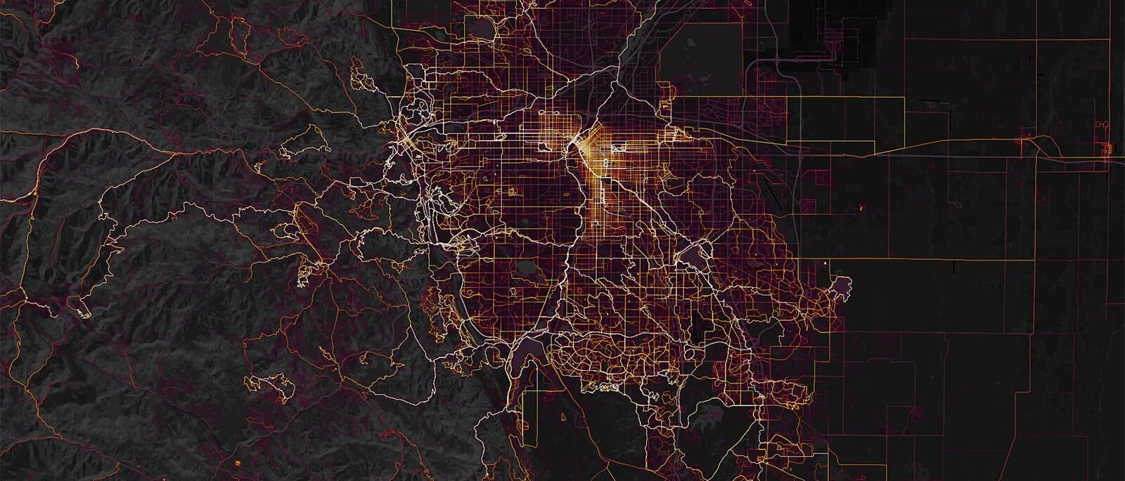
The Strava Heat Map shows which roads cyclists are currently using to get through Denver South. Years and thousands of cycling trips have gone into the selection of these routes. Use this experience and data to help plan your route.
Using both the Strava Heat Map and Bicycle Facilities Map can help you make an informed decision on your route choice.
Denver South Bicycle Resource
Do you have specific bicycling questions to navigate the Denver South region? Let our on-staff expert, Evangelos Gatseos, help. An experienced bicycle racer, Evan has lived and trained in the Denver South region for over 15-years. Contact Evan for one-on-one route guidance. He will help you plan and even ride along with you to help you find the best route to reach your destination. Reach out and ride with Evan, Evan@Denver-South.com.
Is Your Bicycle Road Ready?
Bicycle shops and retailers are racing to keep up with the current demand for bike inventory. Even the most casual observer will notice more individuals, couples and entire families riding their bicycles. Now is a great time to conduct a quick check on your bike to ensure you are road ready. Biking is also a great activity that will allow you to get outdoors and enjoy the weather while maintaining social distancing.
Here are some great tips from Bicycle Colorado:
https://www.bicyclecolorado.org/bike-news/riding-safely/
If you are a “DIYer” you can do the ABC Quick Check with Denver South’s Evangelos Gatseos:
https://www.youtube.com/watch?v=aPU5gzSB36g.
There are also plenty of bicycle professionals in Denver South to help you and your family get road ready.
- Bike Source (Highlands Ranch) – University and County Line Road – 303-221- 4840
- Giant of Centennial – Arapahoe Road and Peoria Street – 720-750-5932
- Mike’s Bikes (Highlands Ranch) – University and County Line Road – 303-730-8038
- Mike’s Bikes (Parker) – Near Mainstreet and Twenty Mile Road – 303-841-8522

The League of American Bicyclists
Everything from how to fit a helmet to on-the-road tips, the League of American Bicyclists have a great one-stop shop for all your questions.

UDOT’s Pedestrian and Bicycling Information Center
With everything from safety tips to local activism, this is a thorough resource compiled by the U.S. Department of Transportation.

Bicycle Colorado’s Rules of the Road
Before your ride, know your rights and responsibilities under Colorado law.
CDOT
Everyone, at some point in their trip, is a pedestrian — and pedestrians are the most vulnerable users of the transportation system. CDOT’s Bicycle and Pedestrian program includes information for everyone.

CDOT’s Safe Routes to School
If you are interested in learning more about how to bring biking and walking programs to your child’s school, check out the Colorado Department of Transportation’s SRTS program page.

Colorado Bike to Work Day
In Colorado, Bike to Work Day is typically celebrated on the fourth Wednesday in June. This year due to the pandemic the event is still in planning. If you are interested in trying a bike commute, this is a great day to start. Contact Evan Gatseos for more information and to sign up at evan@Denver-South.com.

Spin at Meridian
Spin at Meridian is a micro-mobility program brought to you by the Meridian Metropolitan District. With 12 stations located around Meridian, you can easily commute to the office, go grab a bite to eat or just take a spin around the area.

Bikes and RTD
Interested in combining biking with RTD? Check out RTD’s Bike-n-Ride page, which provides detailed information about how to bring your bike on bus/rail and bike locker options at many stations across the region.
Plan to Bike to Work!
Research Your Route:
My Way to Go is a one-stop shop for commute information. You can see what your bike route would look like compared to riding transit or finding a carpool partner.
Detailed Route Research:
Bicycle Colorado has compiled links for bicycle map and trail information for many jurisdictions. You can find information for your area on this easy-to-search page.
Route Itinerary Planner:
Once you have a good idea of the trails and bike routes available, you can use Google Maps to create a turn-by-turn itinerary. Simply enter your work address, turn on the navigator, and enter your home address. Once Google has built your driving itinerary, you can click on the “bike” icon tab to convert the itinerary to a bike route.
