Transportation Resources Drive Success in Denver South
Thriving Communities, Connected by Transit
Transportation Solutions
Our transportation infrastructure is designed to support and enhance the business landscape, ensuring efficient movement and connectivity.
We simplify local commuting with enhancements in traffic flow and congestion mitigation strategies that bolster access to major highways. Whether you’re navigating up and down the Front Range, connecting to other parts of the metro area, or heading to the airport, our central location to well-maintained toll roads and highways ensure a smooth journey. We partner with agencies like the Colorado Department of Transportation (CDOT) to offer reliable commuter options and a transportation network that works for everyone. This commitment extends to both roadway maintenance and expansion projects, making our roads and highways more efficient
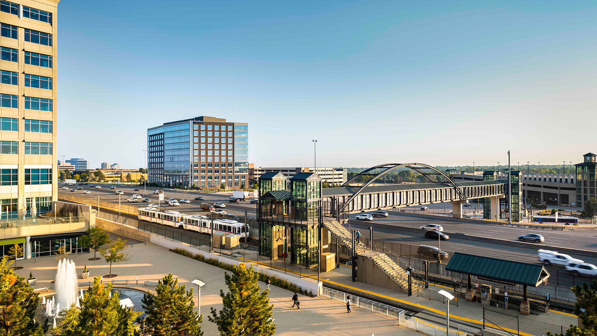
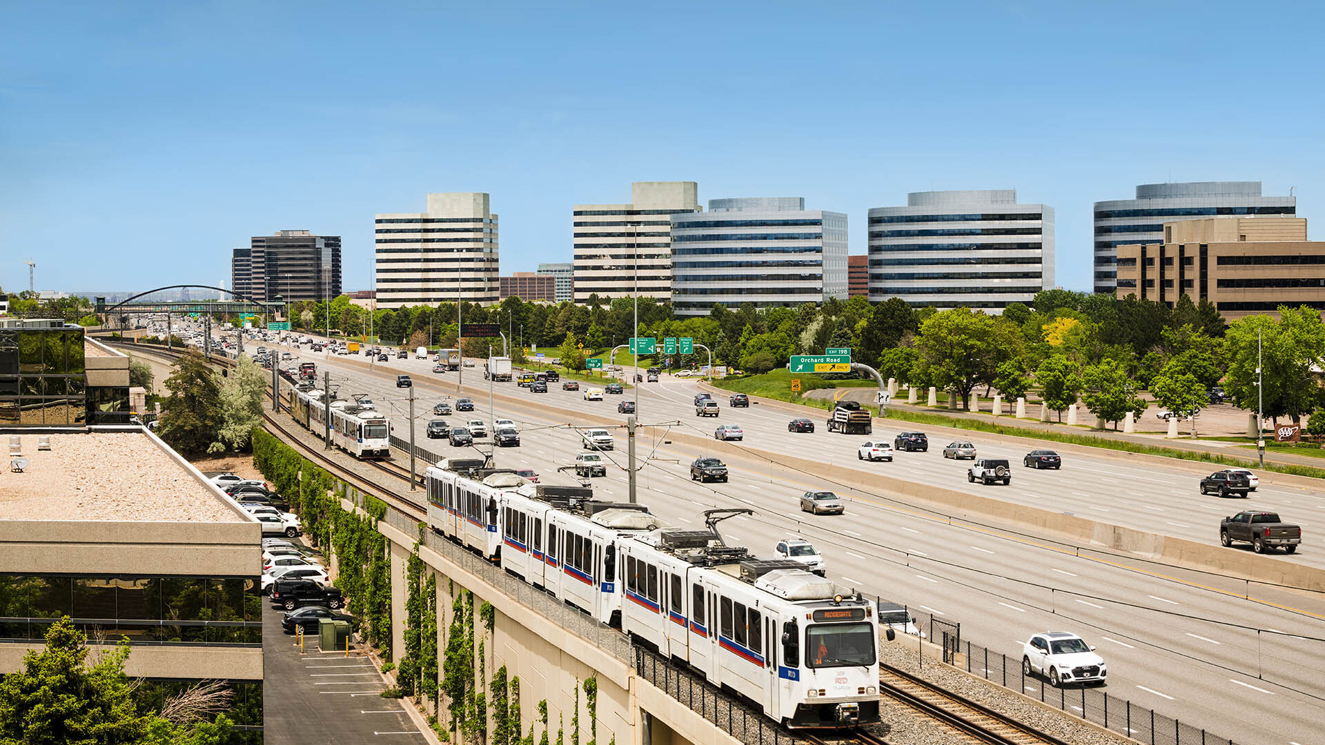
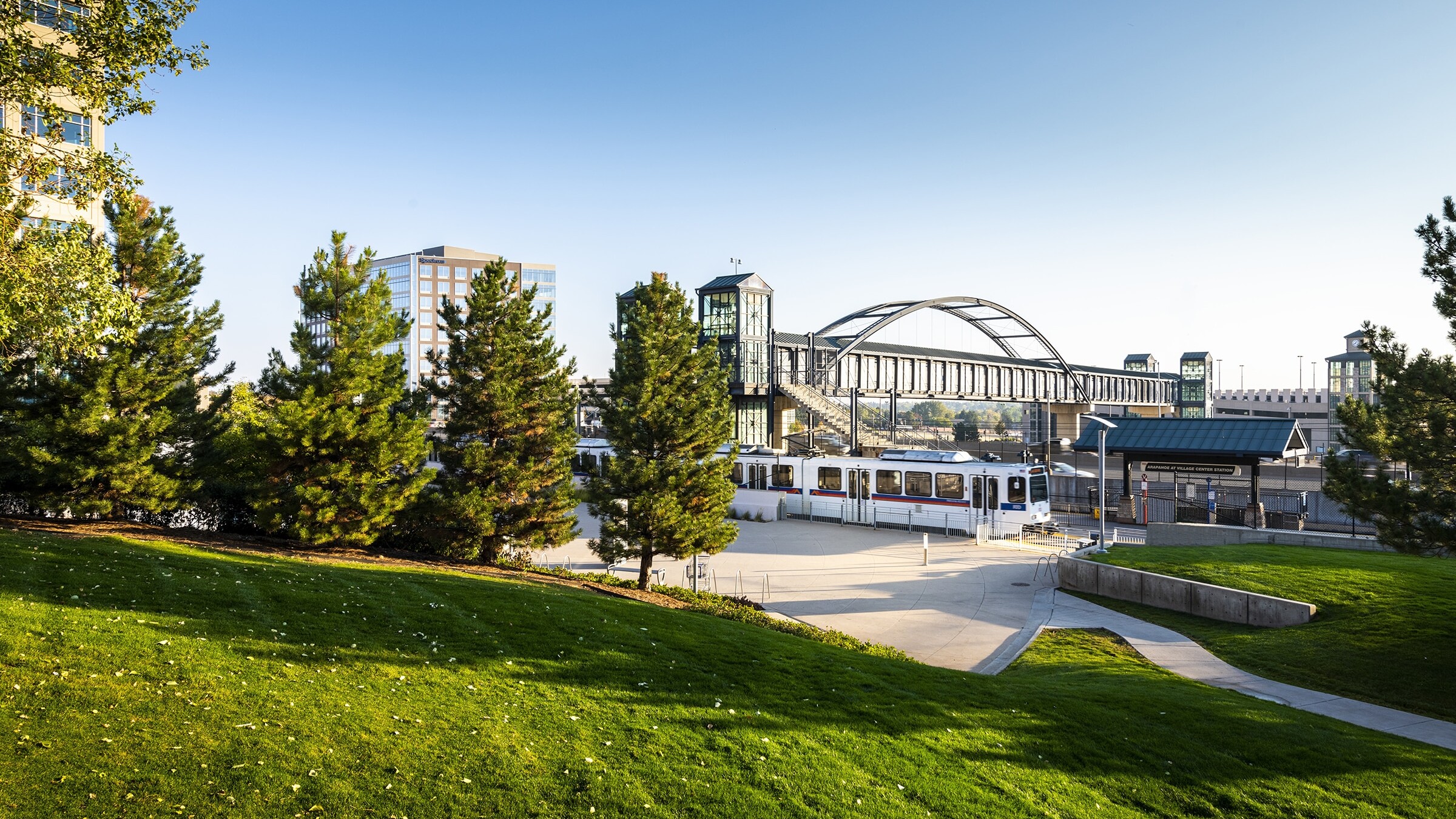
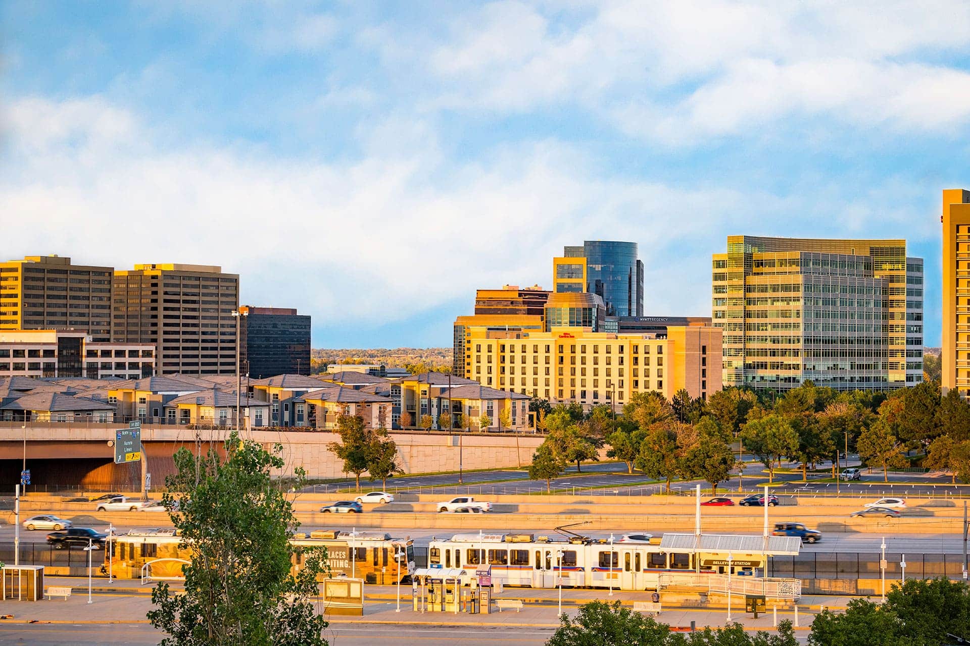
Our public transit system promotes regional mobility, offering bus and light rail routes with convenient schedules. This network not only connects the region internally but also extends public mobility to neighboring areas, providing comprehensive transit solutions. Enjoy affordable transportation through RTD fare options and discounts, including the EcoPass, to make commuting cost-effective and straightforward.
![]()
Denver South is strategically positioned near Denver International Airport (DEN) and Centennial Airport, one of the largest general aviation airports in the world, offering quick and easy access for business travel. This proximity provides an invaluable transportation resource for national and international flights, facilitating global connectivity and supporting the commuter needs of businesses and executives. Additionally, companies in aerospace and aviation enjoy the closeness of Centennial Airport and the opportunity to test new products and innovations with ease.
Alternative Transportation Tax Credit
The State of Colorado will provide a refundable tax credit of 50% for employer expenses related to providing alternative transportation options to employees for tax years 2024 and on.
Alternative Commuter Options
Denver South offers a variety of alternative commuting options designed to reduce congestion, lower environmental impact, and enhance workplace accessibility. These options are complemented by incentives such as the Alternative Tax Credit, further encouraging sustainable transportation practices.
Embrace the flexibility of micromobility with our comprehensive bike share programs and convenient scooter rentals, like the Spin Scooter & Bike eProgram in Meridian, Inverness, and Greenwood Village. These resources provide practical transportation options that support public mobility and reduce traffic congestion.
Our Link On Demand shuttle in Lone Tree services major employment hubs, offering efficient park-and-ride options that connect commuters with their workplaces and the community to amenities seamlessly. Additional shuttle services like RTD FlexRide not only simplify commuting but also support regional development by linking diverse communities and business districts. Looking to go further? CDOT’s Bustang, connects convenient stops in Denver South to both downtown and Colorado Springs.
Leverage our Carpool and Vanpool programs, which offer matching services and incentives. These initiatives not only make commuting more economical but also foster a sense of community among employees while reducing traffic on our roads and highways.
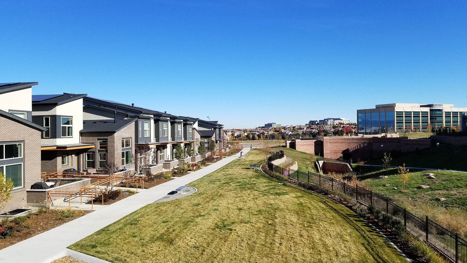
Denver South is actively expanding pedestrian and biking infrastructure to ensure safe and accessible commuting routes. Our Sidewalk and Bike Lane Expansion Projects are part of the Safe Routes to Work programs, encouraging walking and biking while supporting sustainable transportation.
We provide a suite of resources tailored for employers who are transitioning to or enhancing their hybrid and remote work setups. This includes best practices for maintaining efficient remote teams and strategies to ensure seamless communication and collaboration.